DRAFT_North Fork Stanislaus River Hydroelectric Project No. 2409
.jpg?ixlib=rb-1.1.0&w=2000&h=2000&fit=max&or=0&s=b959fc511bb975d08caa9b99e1526a68)
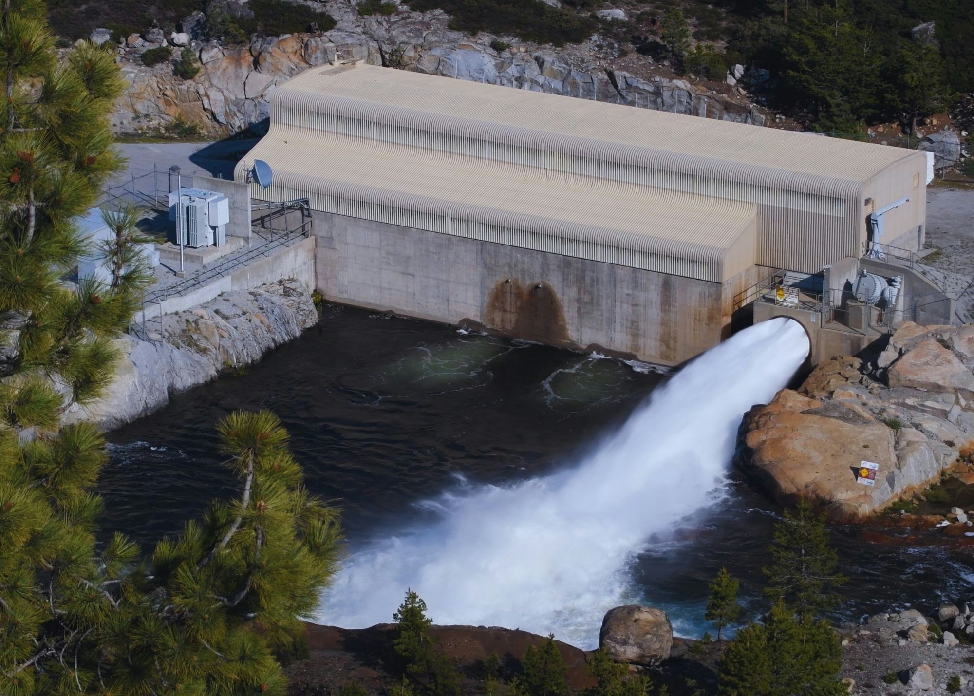
Project Description
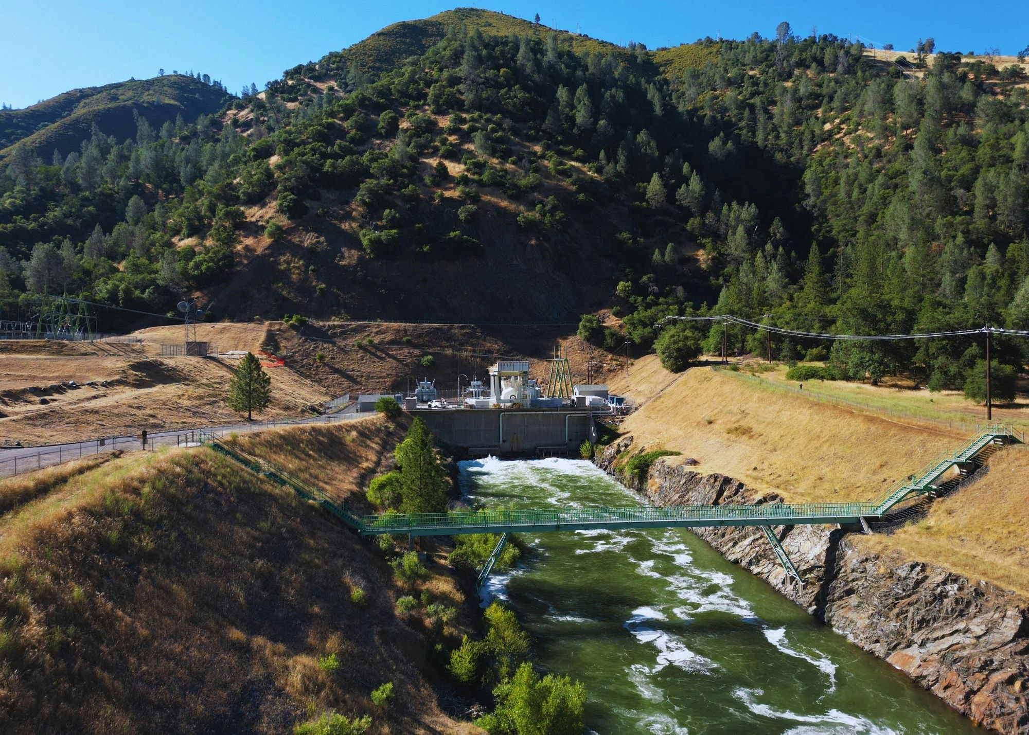
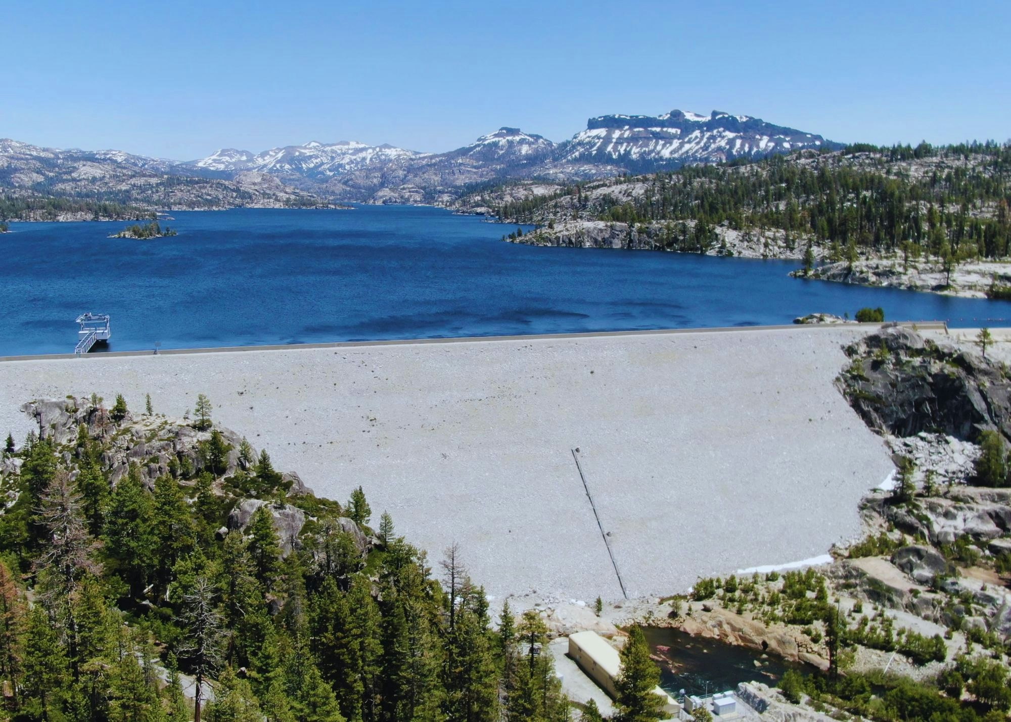
The North Fork Stanislaus River Hydroelectric Development Project is a joint development project by Calaveras County Water District (CCWD) and Northern California Power Agency (NCPA) ). CCWD is the Licensee and NCPA is the Project Operator. The North Fork Stanislaus River Project combines water usage and electric power in an environmentally sound manner, plus provides recreation for Californians. Spanning 60 miles of the western slope of the Sierra Nevada, the Project ranges from the North Fork Diversion Dam at the alpine elevation of 6,700 feet to the Collierville Power Plant in the North Fork Stanislaus Canyon at 1,099 feet.
.jpg?ixlib=rb-1.1.0&w=2000&h=2000&fit=max&or=0&s=3f92c39e19c3a72d668debaad25fd776)
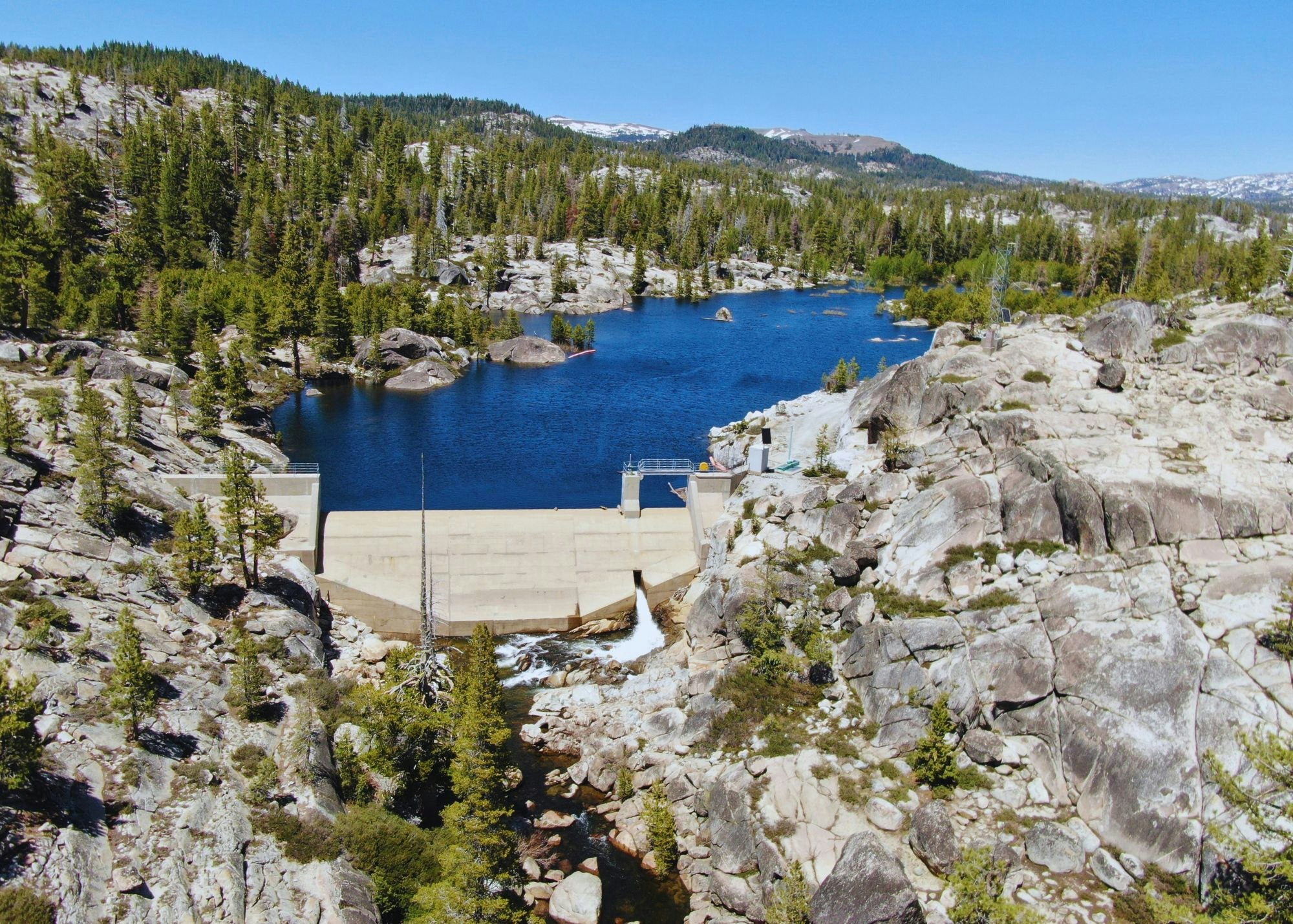
Project Location
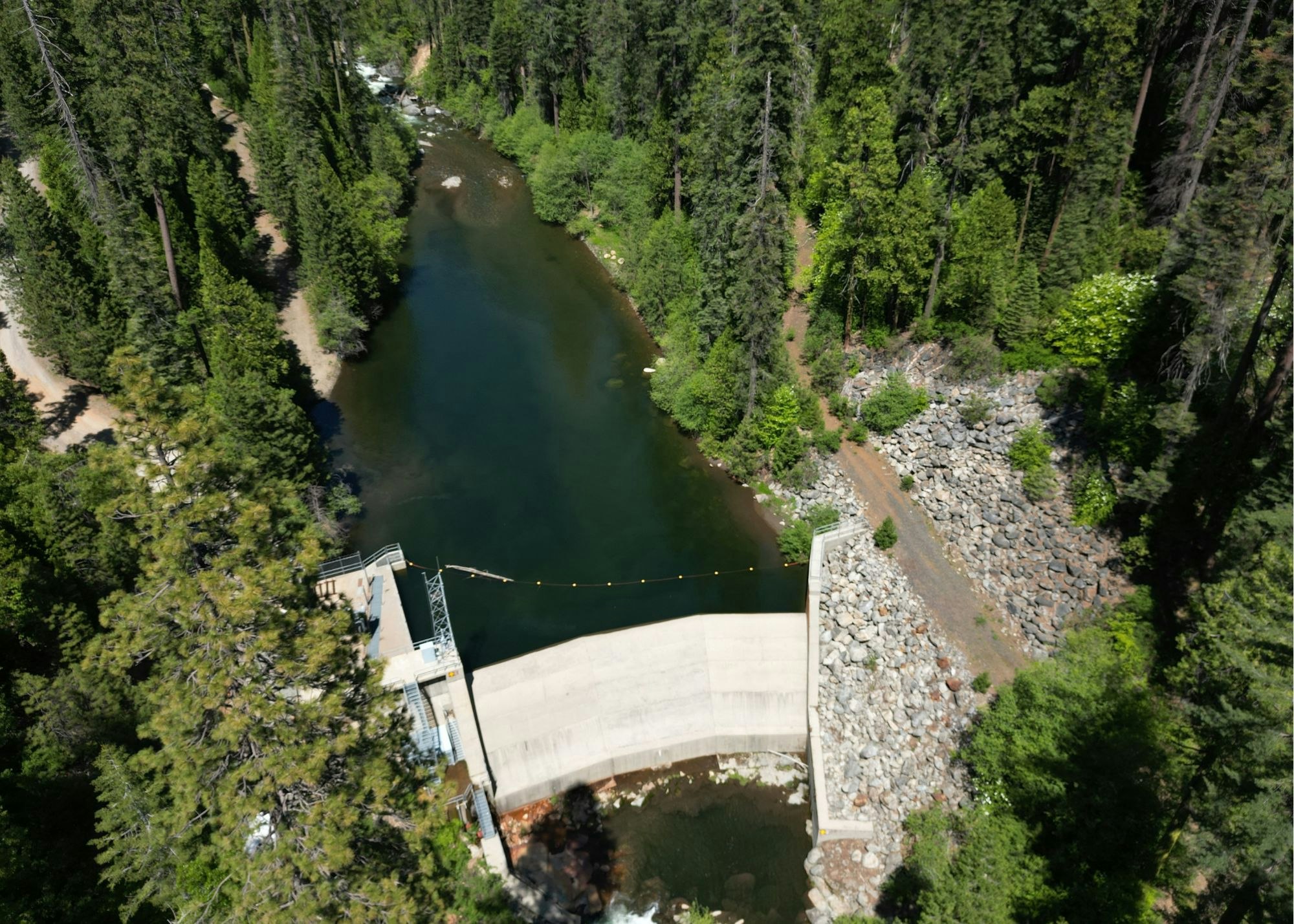
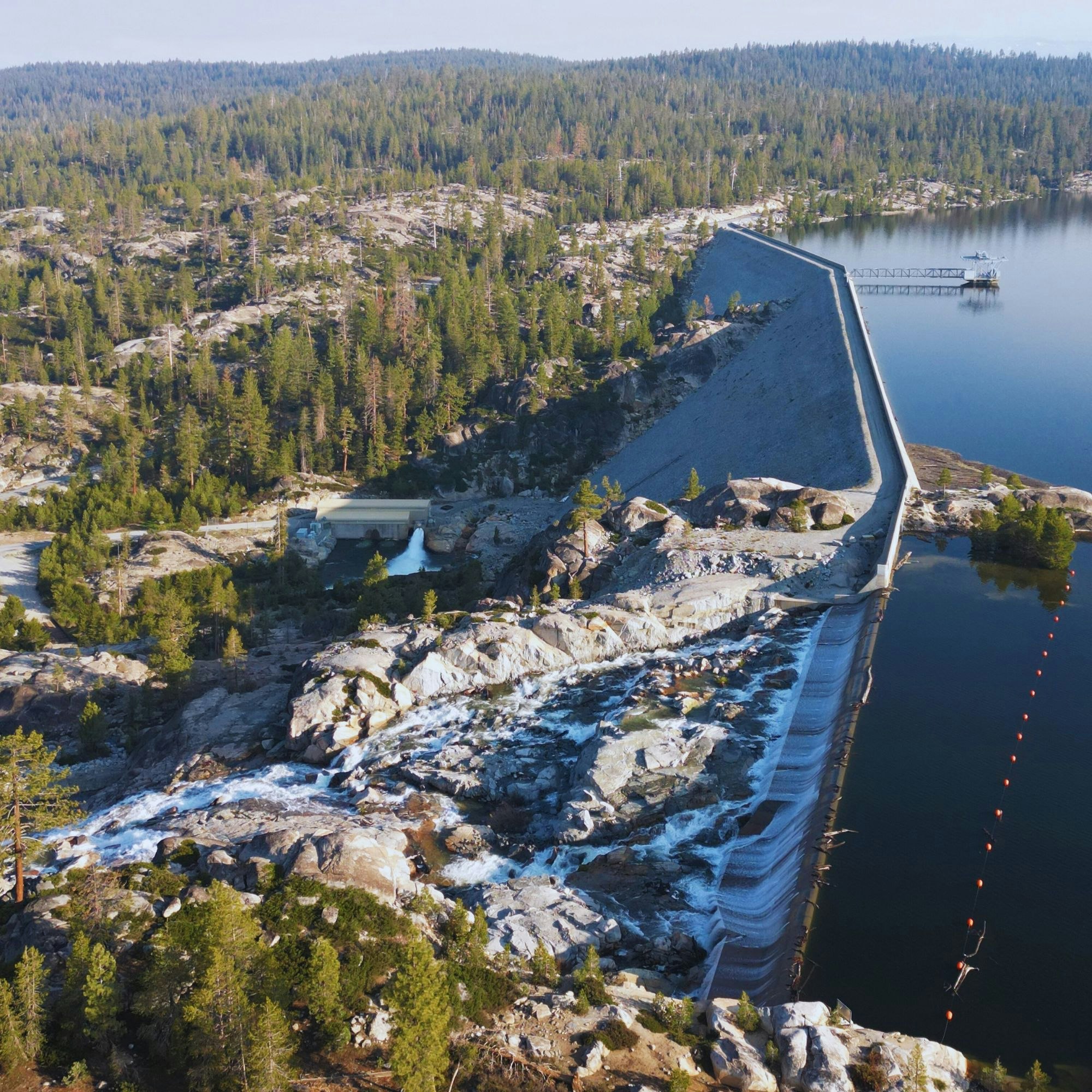
P-2409 is located on the west slope of the Sierra Nevada in the North Fork Stanislaus River (NFSR) Basin in Calaveras, Tuolumne, and Alpine counties, California with portions on lands of the United States managed by the United States Department of Agriculture, Forest Service (Forest Service), as part of the Stanislaus National Forest (SNF), the United States Department of the Interior (USDOI), Bureau of Land Management (BLM) as part of the Sierra Resource Management Area, and the USDOI, Bureau of Reclamation (BOR) as part of the New Melones Reservoir Area. The NFSR joins the mainstem Stanislaus River at its confluence with the South Fork Stanislaus River, and the river flows generally southwest through the agricultural San Joaquin Valley to join the San Joaquin River south of Manteca, California. The San Joaquin River flows into the Sacramento-San Joaquin Delta, which eventually empties into San Francisco Bay and the Pacific Ocean.

.jpg?ixlib=rb-1.1.0&w=2000&h=2000&fit=max&or=0&s=600f3dd40990b306acda8b7f9606be80)
.jpg?ixlib=rb-1.1.0&w=2000&h=2000&fit=max&or=0&s=c4f94a6c19f52a1305cec9ea55de1328)